

RESEARCH
A nervous system for planet Earth
ESL 2026 will focus on developing planetary intelligence for our changing world, extending the research portfolio from monitoring to active stewardship.

Can we build on learnings from FDL’s MAESTRO and SHRUG-FM to create optimal foundation model performance that can act as a unified estimator of truth?
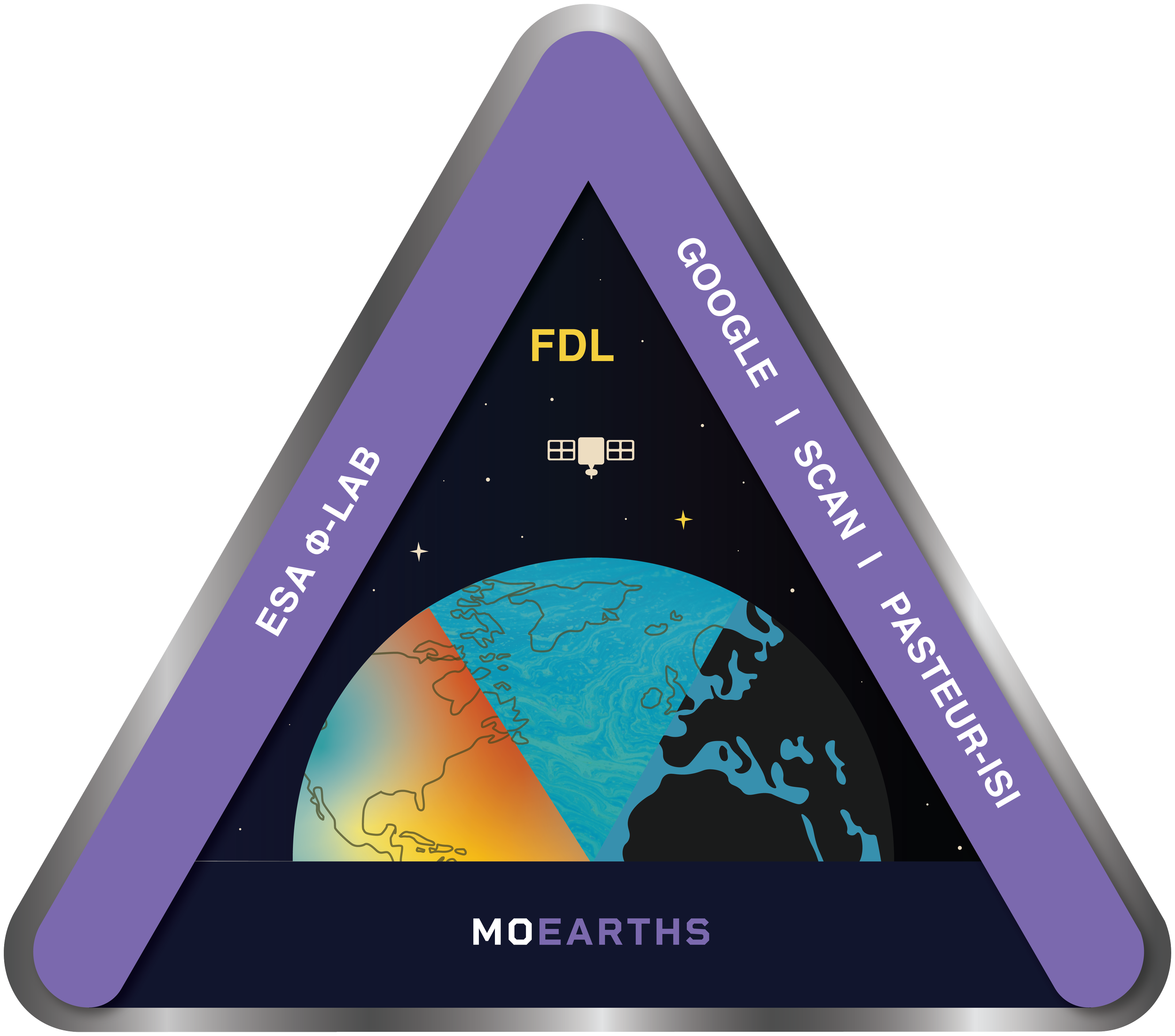
There is no operational Earth-scale MoE system deployed today. The MoEarths (Mixture of Earths) challenge proposes a shift from selecting a single "best" model to a new paradigm of adaptive switch-out, prototyped during FDL 2025 (SHRUG) and FDL 2024 (MAESTRO). Maestro considers pretrained geospatial foundation models (such as Clay, Prithvi and SAR-FM) as specialists with specific capabilities based on known performance. The AI innovation opportunity for 2026 lies in the addition of capabilities showcased in SHRUG - an integrated universal routing and fusion layer that dynamically weights these experts based on real-time geographic and semantic context, sensor modality, and uncertainty. For instance, in a carbon-auditing scenario involving a tropical forest under heavy cloud cover, the MoEarths router would autonomously detect a high out-of-distribution signal from optical experts like Clay and shift weight toward SAR-based experts capable of penetrating the canopy. This creates a meta-representation that is far more robust across varying regions and seasons than any standalone model and offers a window to the future of seamless model switch-out and auditability based on user queries.
MoEarths
Can we build a precursor foundation model of a dynamic, living system using ESA’s Biomass and Sentinel missions?
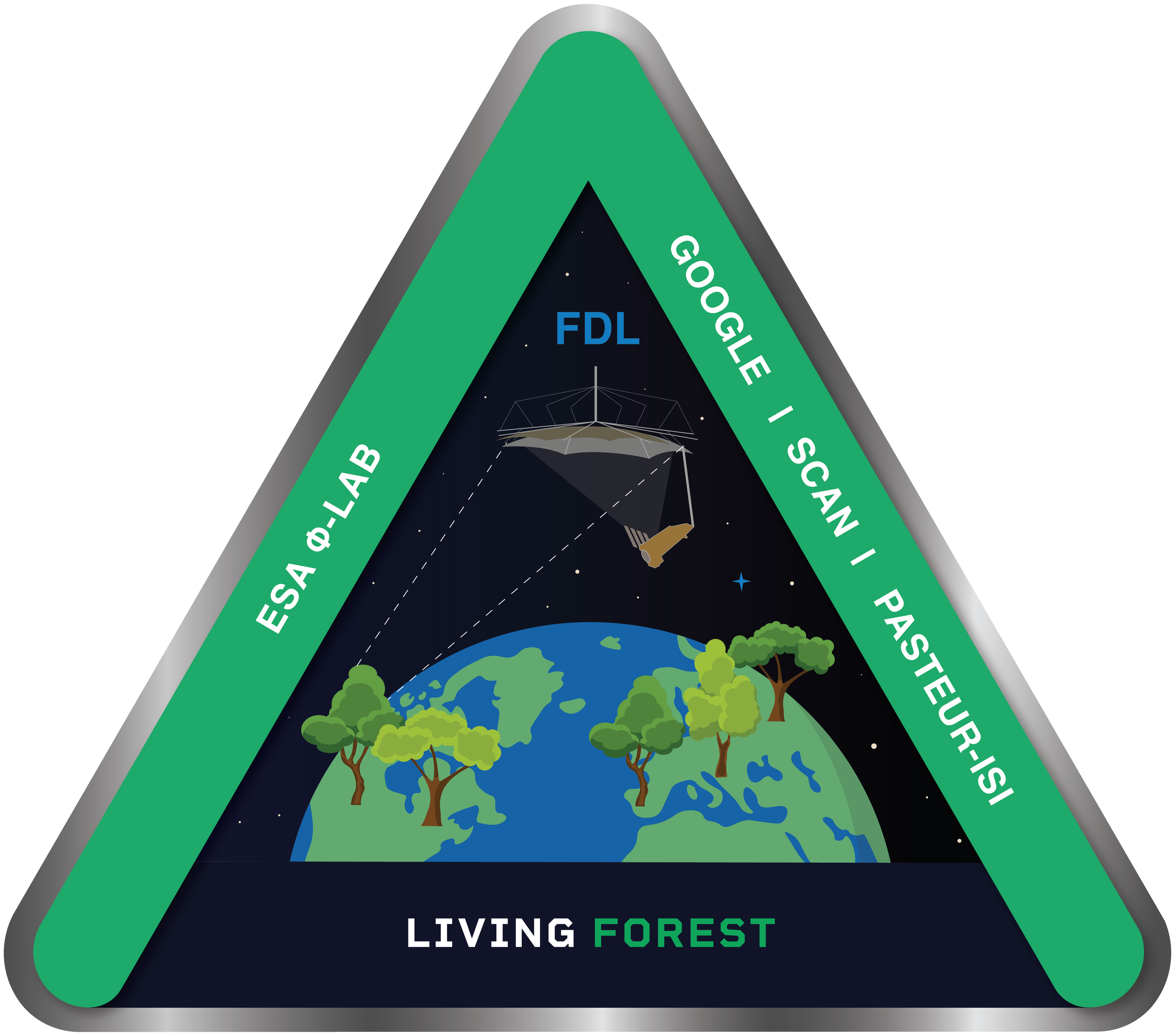
During FDL 2024, we showed it was possible to classify a forest from space to query its carbon sequestration capabilities with around 80% accuracy with a view to applying it to Biomass P-band data1.
In 2026, we’d like to better understand how to measure living forests to help track and manage their health and resilience over time.
This challenge would develop the first Dynamic Forest Foundation Model designed to learn the underlying physics of forests. This effort would explore Foundation model approaches that make predictions based on the latent structure in the embedding space, rather than the next pixel with a view to learning the internal causal mechanisms using ML architectures such as JEPA (Joint-Embedding Predictive Architecture).
LIVING FOREST
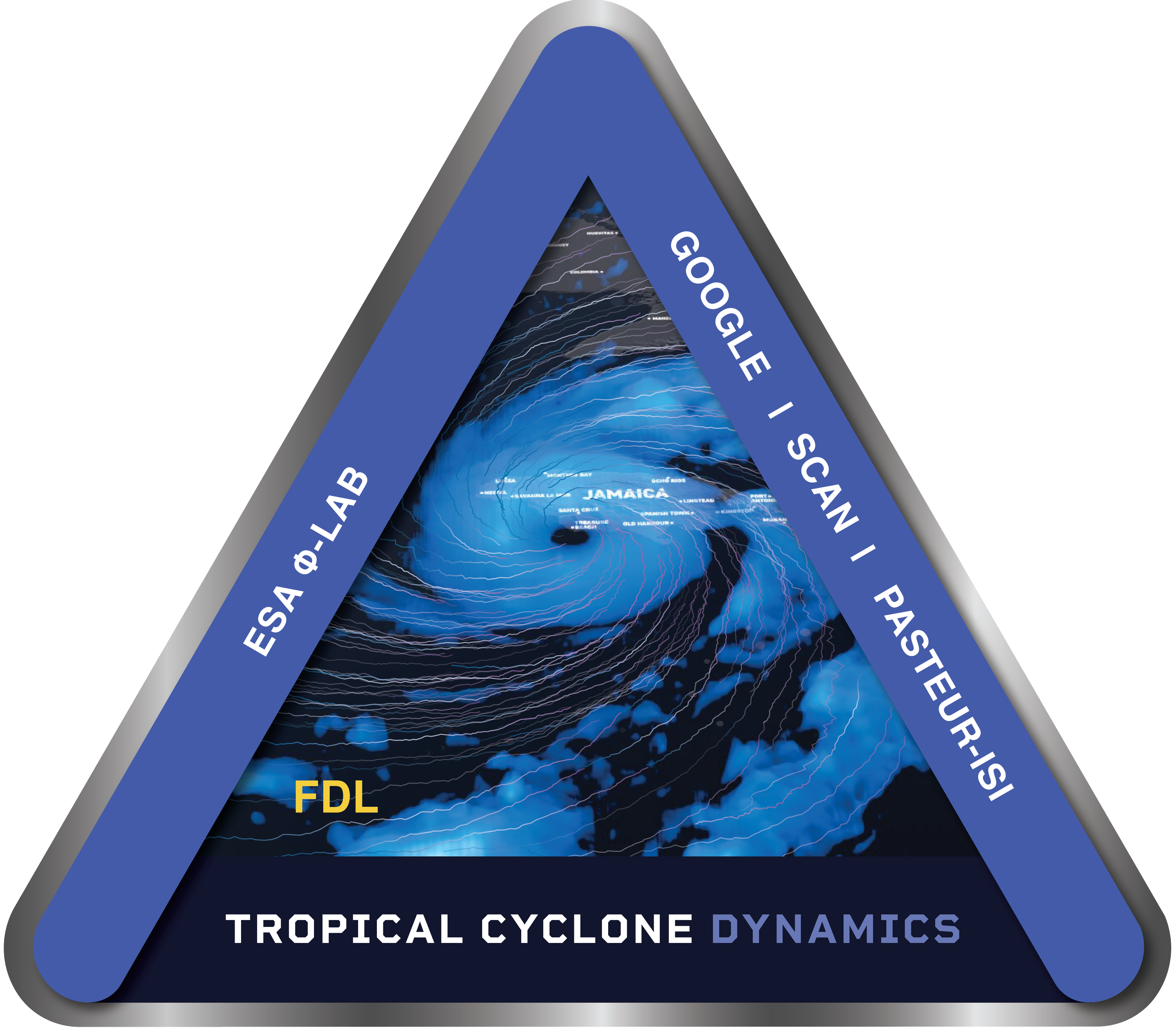
Tropical Cyclone Dynamics
Can we predict tropical storm intensity?
Tropical cyclones, Typhoons and Hurricanes represent a critical socio-economic threat where single events can incur tens of billions in damages. Despite advances in numerical weather prediction, a persistent resolution gap remains between global simulations and the fine-grained spatial structure of storm eyewalls. Existing models predict only condensed information like the future track of the TC centerpoint or total intensity. They fail to capture the dynamics of the low-level boundary layer at high-resolution which are critical to societal impacts. Previous FDL projects have demonstrated reconstruction of 3D cloud structures at a kilometer scale, but these models lack the integrated thermodynamics necessary to anticipate the destructive potential of rapid intensification events.