RESEARCH
FDL Europe 2021
This year we tackled challenges in the areas of: Energy Futures, Earth Science, Disaster Response.
multi-spectral multi-image super-resolution for SGD use-cases
-
-
ISPRS Journal of Photogrammetry and Remote Sensing - Multi-spectral multi-image super-resolution of Sentinel-2 with radiometric consistency losses and its effect on building delineation - DOI
Authors: Muhammed T. Razzak, Gonzalo Mateo-García, Gurvan Lecuyer, Luis Gómez-Chova, Yarin Gal, Freddie Kalaitzis -
SpaceML .- SENTINEL-2 SUPER-RESOLUTION
ML ONBOARD
EXTREME EVENT ‘HOT SPOTS’ USING ML ONBOARD
Can we deploy AI onboard satellites to make faster and more relevant observations for extreme events - or ‘hot spots’? Watch the team’s FDL Europe Space Science & AI Showcase results here
In this challenge, the team looked to develop an opportunity for “Φ-Sat-2- class” microsats, testing how onboard ML can be used to reduce data transmission needs, by enabling autonomous data selection of extreme events - or ‘hot spots’.
Novelty detection is certainly a compelling problem for onboard ML. It has the potential to increase the value of downlinked data and it is the premise for many use-cases, such as disaster response, biology monitoring or even continual learning to cite a few.
We are very excited about the potential of Machine Learning payloads and this application is an eye-opener to what’s possible.
-
-
-
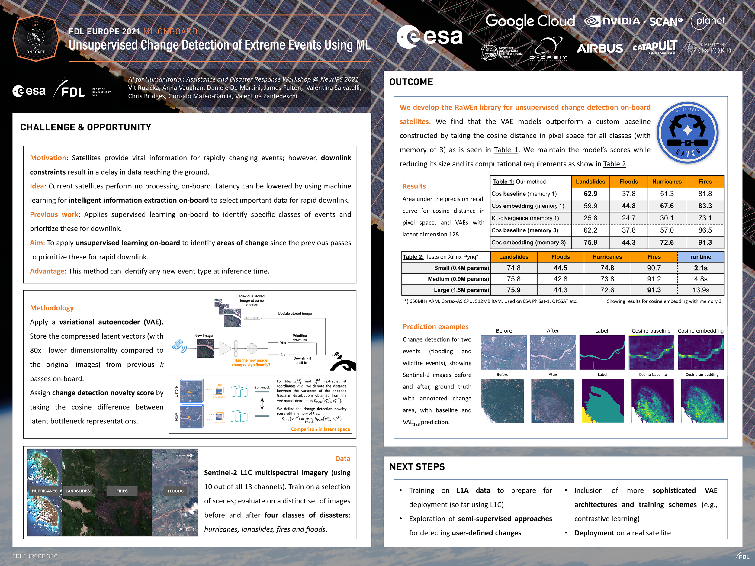
AGU 2021 - Smart satellites: machine learning on-board for low-latency novelty detection
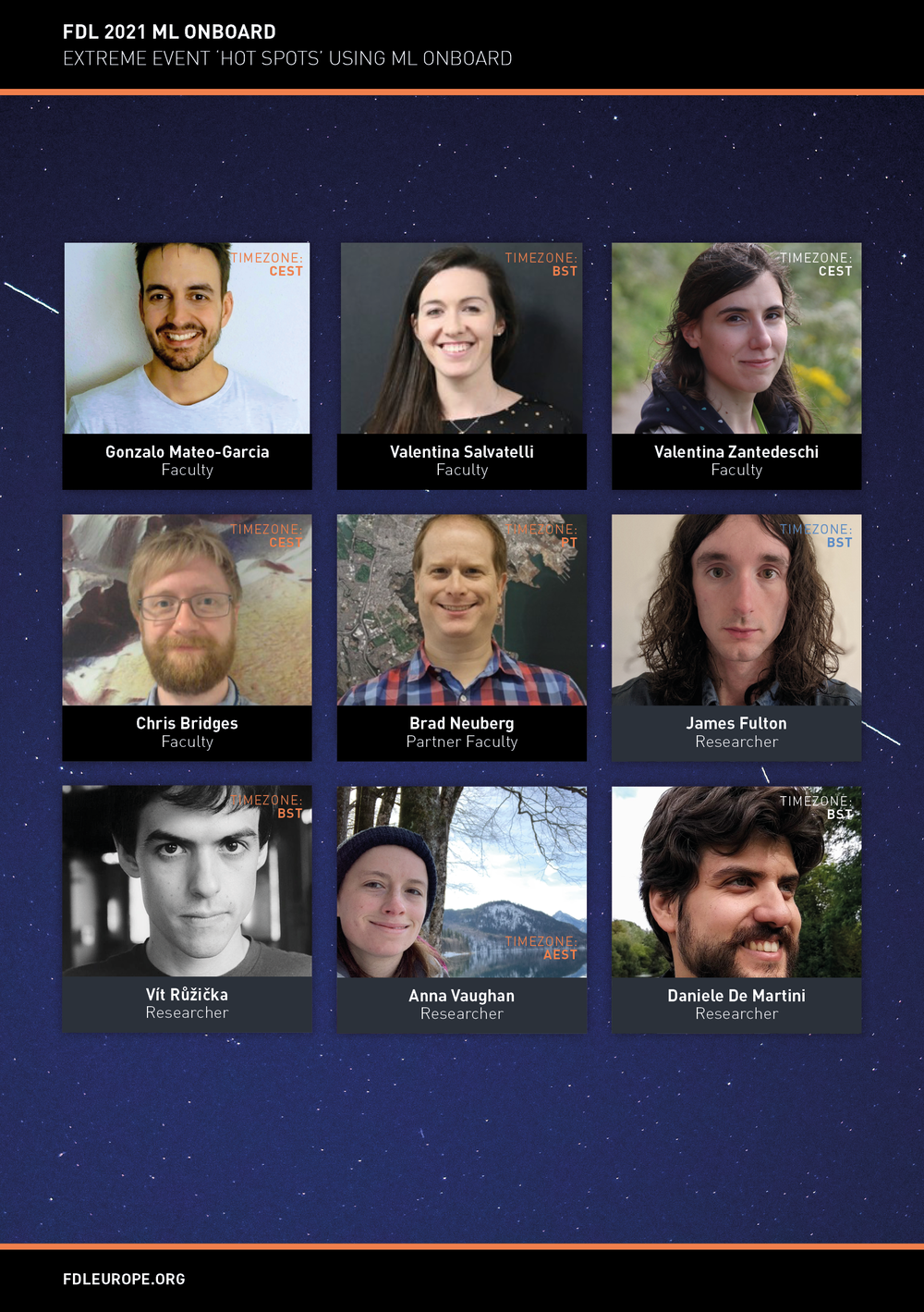
Authors: Vít Růžička, Anna Vaughan, Daniele De Martini, James Fulton, Valentina Salvatelli, Chris Bridges, Gonzalo Mateo-Garcia, Valentina ZantedeschiNeurIPS 2021 HADR.AI - Unsupervised change detection of extreme events using ML on-board - DOI
Authors: Vít Růžička, Anna Vaughan, Daniele De Martini, James Fulton, Valentina Salvatelli, Chris Bridges, Gonzalo Mateo-Garcia, Valentina Zantedeschi -
EARTH OBSERVATION
WORLD FOOD EMBEDDINGS
Can we use AI and satellite images to track the world’s food supply? Watch the team’s FDL Europe Space Science & AI Showcase results here
Machine learning applications with Earth observation data are limited by the availability of training labels. Training labels are spatial-temporal and correspond to events like forest-fires or oil spills; objects like ships, buildings, or farms; or environmental indicators of interest, such as vegetation health, crop yield, or biodiversity markers.
General-purpose embeddings of Earth observation imagery can facilitate automated localisation and monitoring applications on new tasks and geographies. Meanwhile, FDL Europe research has shown the potential for Multi-Image Super Resolution (MISR) to upscale Sentinel-2 imagery, extending the list of potential applications to those with smaller geometries. The challenge now is to develop general-purpose embeddings and multi-temporal fusion techniques (e.g. multi-image super-resolution) with time-series imagery, which should be designed to capture the dynamism of our changing planet. This project will develop these techniques and build value-adding applications in support of the UN World Food Programme challenge Summarise.
HOW ELSE CAN I GET INVOLVED WITH FDL Europe?
Follow us on Twitter, LinkedIn and sign up for our newsletter
If you have any questions, please do send us an email


